Independent field note
A Mont-Saint-Michel day trip from the Pays d’Antrain
Mont-Saint-Michel is close enough for a proper day trip, but the approach, walking, crowds and optional abbey visit need a day planned without haste.
Find the place
Address and maps
Tourist Information Centre and official car parks
Navigate to the information centre and official parking area, not to a street inside the village. Walking routes and shuttles begin here.
A nearby excursion, not a quick stop
Mont-Saint-Michel looks close to Val-Couesnon and Bazouges-la-Pérouse on a map. A complete visit nevertheless takes time before you enter the abbey: reach the designated car parks on the mainland, continue to the rock on foot or by shuttle, climb through the village and then make the return journey.
Make the Mont the main purpose of the day. A simple dinner or short local stop after returning to the Pays d’Antrain can work; a substantial Villecartier walk on the same day usually produces more rushing than pleasure.
Choose the village, the abbey or both
The village of Mont-Saint-Michel is a freely accessible commune. The abbey at its summit is a separate ticketed monument with its own admission times and visitor conditions. Check the official access, parking and shuttle information, then the abbey’s current practical information.
If the abbey matters to you, give it a genuine time slot and account for the many steps. If the group prefers the landscape, ramparts and lanes, visiting the village without an abbey ticket can still make a complete outing. Decide before departure so the day is not built around an entry time that is no longer available.
Arrive at the right place
Visitor vehicles stay in the official mainland parking area, away from the rock. The official arrival guide covers travel by car, bicycle, foot and public transport. From the Tourist Information Centre area, choose the prepared walking route or the “Le Passeur” shuttle.
Do not type only “abbey” into a satnav and expect to drop the group at its door. Use the arrival point in this guide’s map card and leave enough time for the onward journey to the Mont and, if applicable, the climb to the abbey.
Build a realistic day
A robust outline is simple: arrive with time to spare, approach on foot or by shuttle, explore the village, visit the abbey if chosen, and return without a final sprint to the car park. Keep the meal flexible, while checking any essential dietary requirement and likely periods of heavy demand beforehand.
Bay weather changes quickly. Carry a windproof layer, water and footwear suitable for cobbles, gradients and steps. A pushchair or reduced mobility changes the viable route substantially; use the official accessibility information rather than relying on a generic description.
The bay is not a shortcut
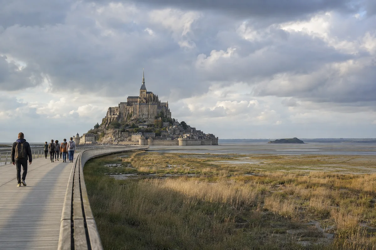
The causeway is the normal approach to the rock. Mudflats and sandbanks are not an improvised walking route: fast tides, channels and quicksand make an unguided crossing hazardous. The public authority states that visitors should never cross the bay alone and directs walkers to accredited guides.
Check current tide conditions before leaving. At high coefficients, access across the causeway may be interrupted for a period. A forecast saved several days earlier cannot replace same-day information and instructions on the ground.
Before leaving the Pays d’Antrain
- check current traffic and navigation to the official parking area;
- decide whether the abbey is part of the day and confirm admission arrangements;
- check weather, tides and any access restrictions;
- allow for the walk between parking, village and summit;
- keep the return evening simple rather than adding a second major attraction.